Kolmisoppi – Neulamäki
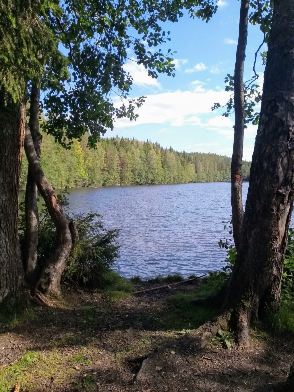
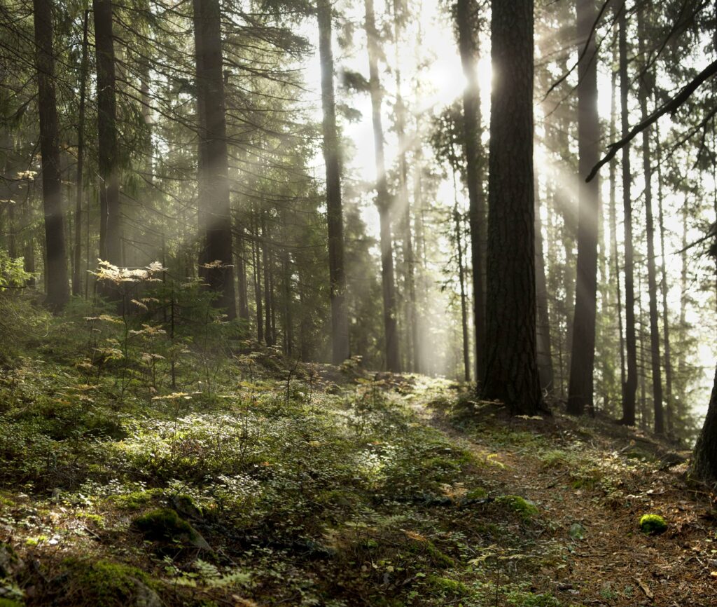
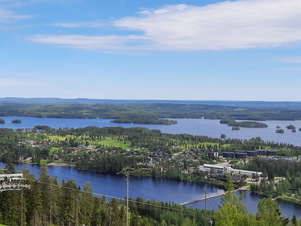
The vast Neulamäki forest is a popular recreational destination and home to the approximately 230 ha Kolmisoppi-Neulamäki nature conservation area. The conservation areas are part of the Natura network. Some of the trails are intended for year-round outdoor activities, and there are three nature trails passing through the conservation area.
Brochure and map of Kolmisoppi-Neulamäki (pdf, in Finnish)
There are three nature trails in the Kolmisoppi-Neulamäki area. Almost all of the nature trails are located in a nature reserve that is also part of the EU’s Natura network.
The nature trail can be started at the north-west end of the Kolmisoppi pond, which also has a parking area. From the Neulamäki residential area, you can access the nature trail either from the end of Juontotie road or from the sports field.
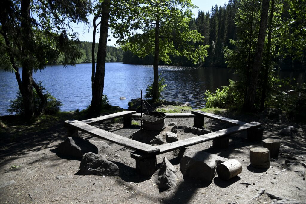
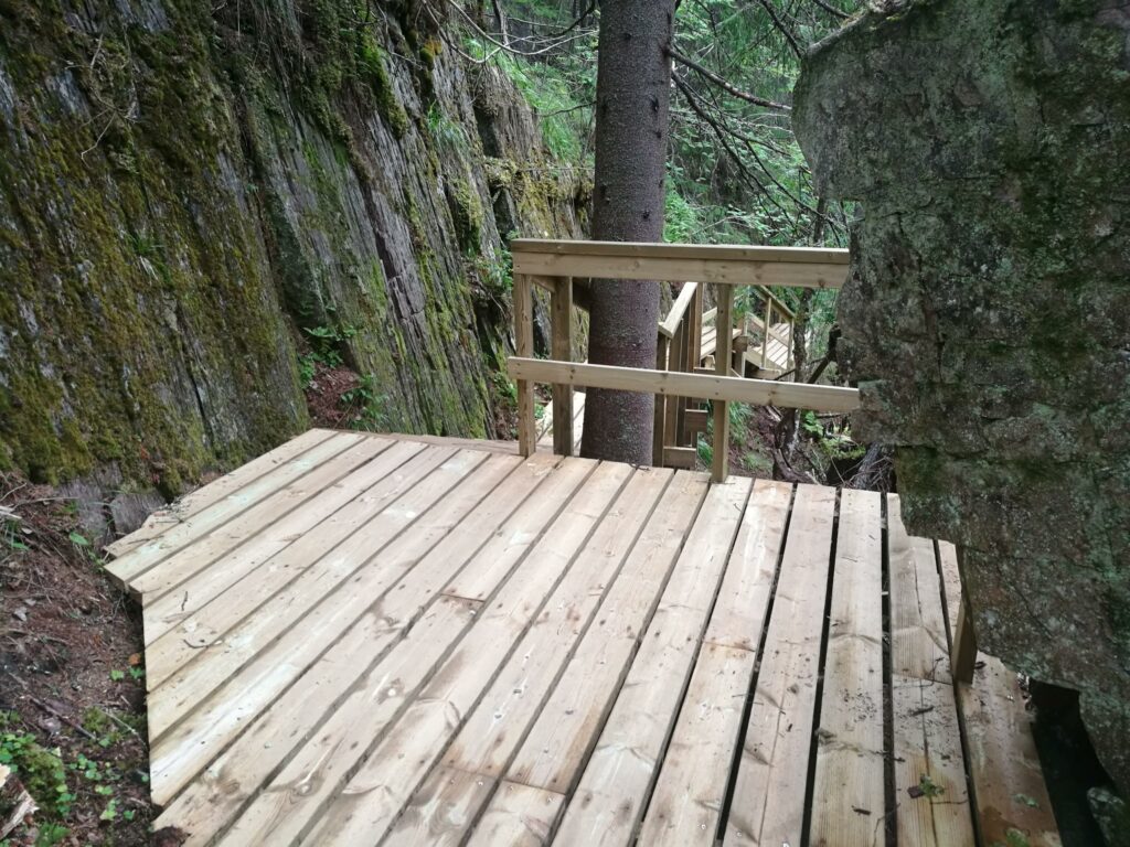
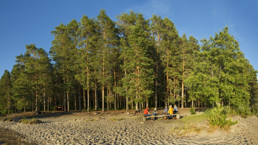
The trails have been marked with paint. There is a campfire site by the Vuorilampi pond equipped with an accessible dry toilet. The way to the campfire site is not entirely accessible due to the elevation difference, but it is possible for people with restricted mobility to reach the campsite if assisted.
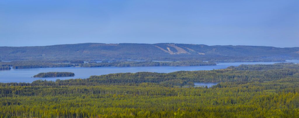
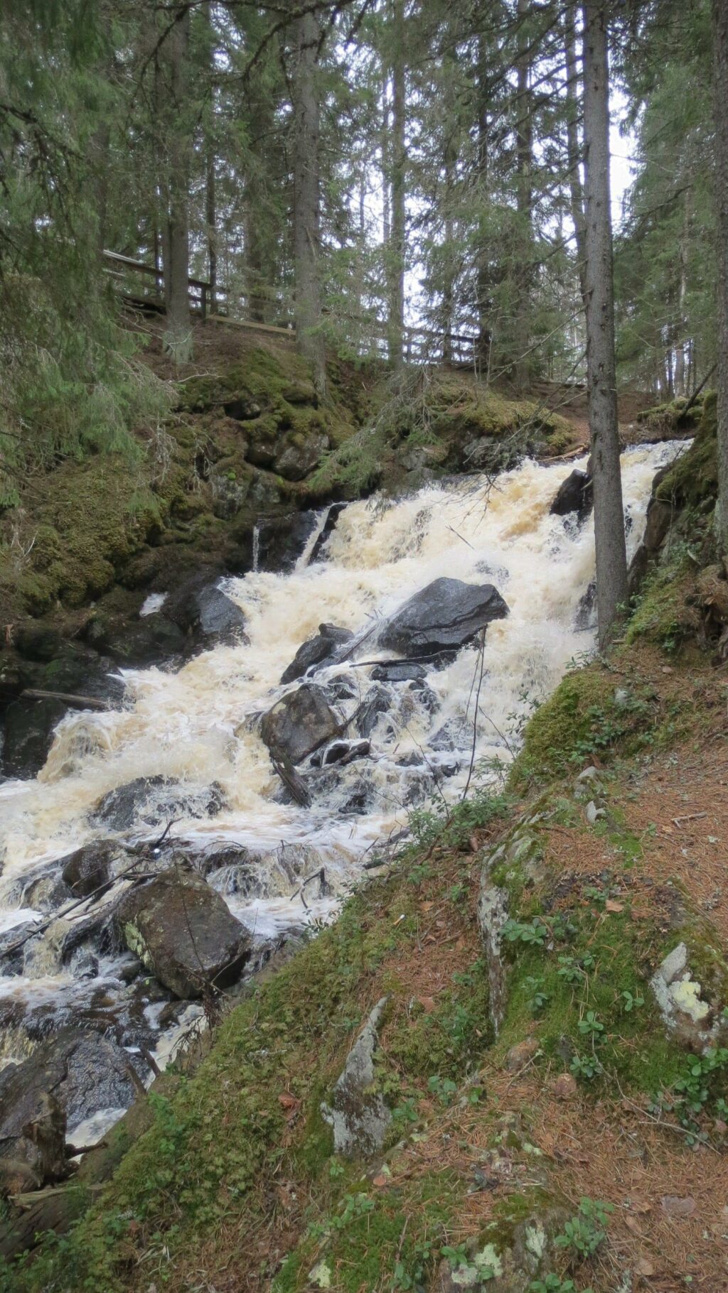
Neulamäen kierto trail, which is just over five kilometres long, passes the Vuorilampi pond and the Tervaruukki area and leads to the Suuri Neulamäki hill. The nature trail features various types of groves, the most impressive of which is the fern grove by the stream that flows into the Kolmisoppi pond. The displays on the trail provide information on the various tectonic events that have taken place in the area. The trail also passes the ancient shoreline of the Yoldia Sea, dating back 11,000 years. The displays also provide information about the animals inhabiting the area, from the smallest of insects to deer and moose. The effort of climbing the Suuri Neulamäki hill is rewarded by the magnificent rocks and amazing views from the top. The elevation difference on the Neulamäki trail is nearly 100 metres, making certain parts of the trail demanding for the hiker.
Neulamäen kierto (retkikartta.fi)
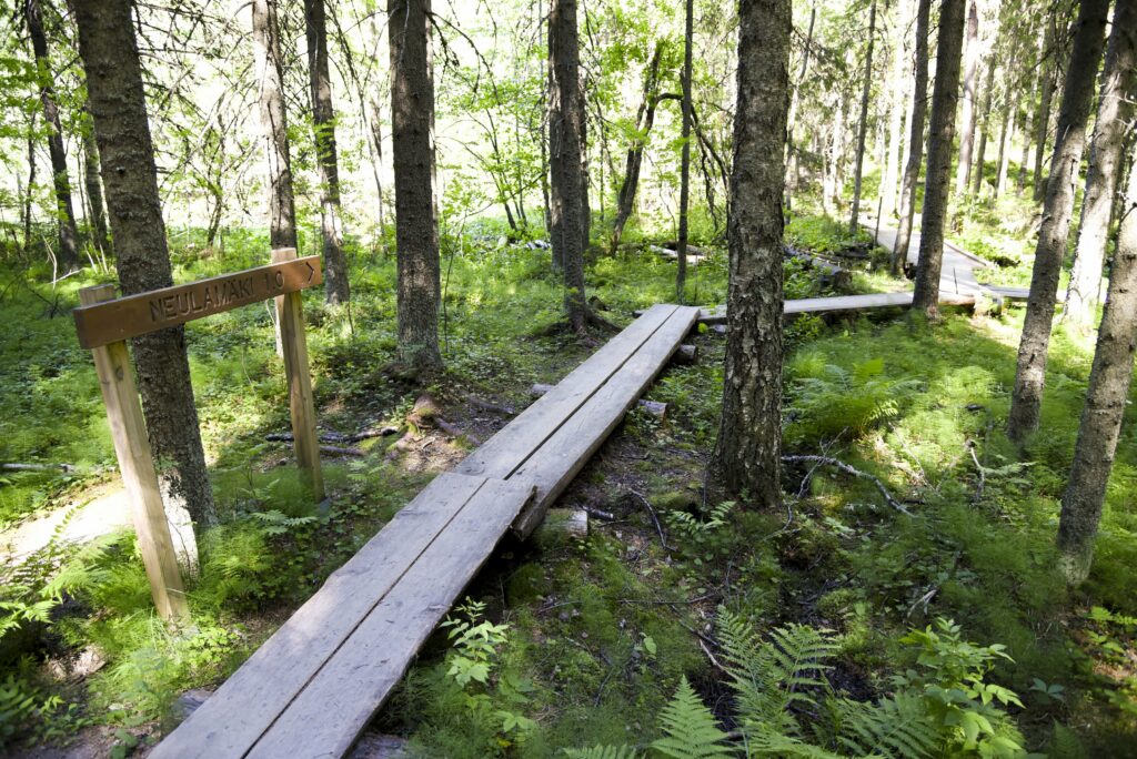
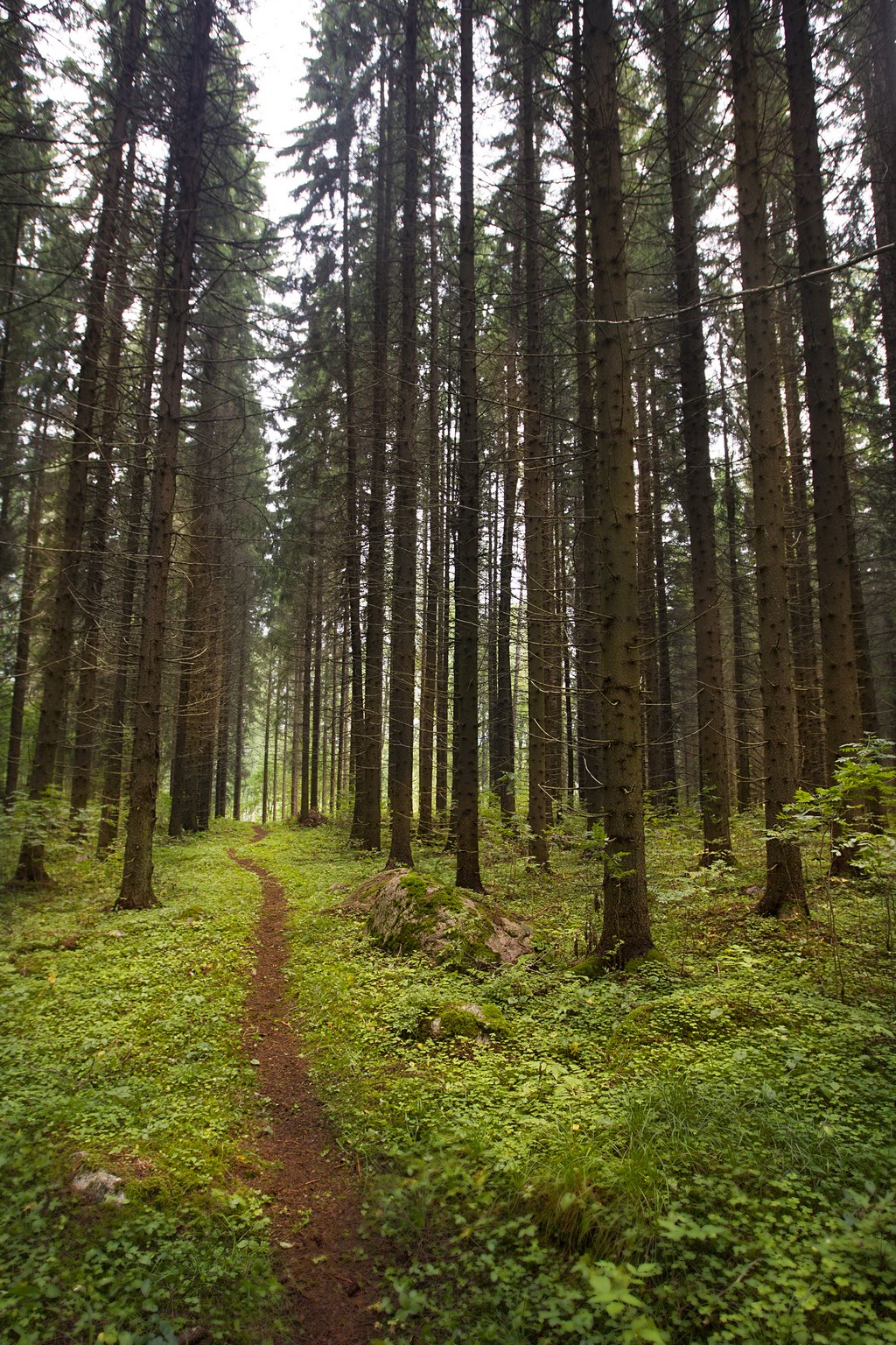
Vanhan metsän polku trail partly overlaps with the Neulamäki trail. The four-kilometre Vanhan metsän polku trail, literally “path in the old forest”, showcases the old forests in the area and provides information on e.g. conks and hole nesters, such as woodpeckers. Erratic boulders dating back to the Ice Age stand along the trail.
Vanhan metsän polku (retkikartta.fi)
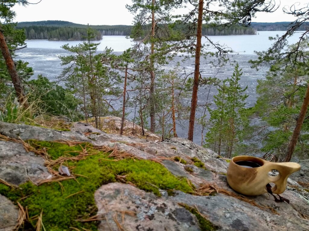
The two-kilometre-long Pikkukierto trail connects the Neulamäki trail to the Vanhan metsän polku trail at the campfire site located on the north-west shore of the Vuorilampi pond.
Contact information
Street address: Pilpantie
Post code: 70700
Post office: Kuopio
District: Kolmisoppi-Neulamäki
